

Napa County Fire Incident Map logo Napa County Fire Incident Map logo Home
  • Home
  • Resources
  • Communities
  • Categories
  • Topics
  • Grounding
  • Contact

cute feet æonTribe »  Resources »  Government Services » Napa County Fire Incident Map

banner

Napa County Fire Incident Map

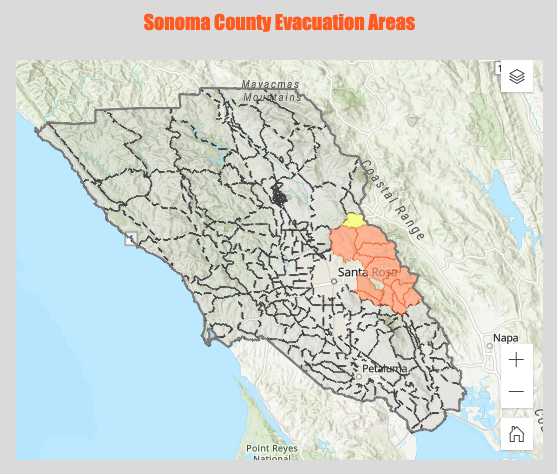
An occasionally up-to-date display of current evacuation zones for Napa County.
WILDFIRES AIR POLLUTION FIRE INCIDENT MAP
Napa, CALIFORNIA, UNITED STATES

Communities

San Francisco North Bay »Napa County »

Links

 Website  

Related

350 Bay Area » Earthquake Country Alliance » Purple Air » Santa Rosa Evacuation Map »
Published: Sep 28, 2020 | Updated: Apr 21, 2026
 « Santa Rosa Evacuation Map UN General Assembly 78th Session, 4th Plenary Meeting » 

æonTribe

467 Sebastopol Avenue
Santa Rosa,  CA  95401 USA
About
Contact

Sections

Critical Issues
Communities
Grounding
Resources

Communities

Climate Activists
California North Coast
China
Europe
Japan
Korea
More...

Resources

By Category
By Topic
By Activity
By Opportunity
By City
By County
By State
By Country
By Continent
Filter

Opportunities

Academic Fellowships
Citizen Reporting
Donating
Employment
Event Planning
Internships
More...

Back Matter

Recommend a Resource
How to Contribute
Privacy Policy


Founding Sponsor

© Copyright 2026 æonTribe

2026-10-22 16:15:37